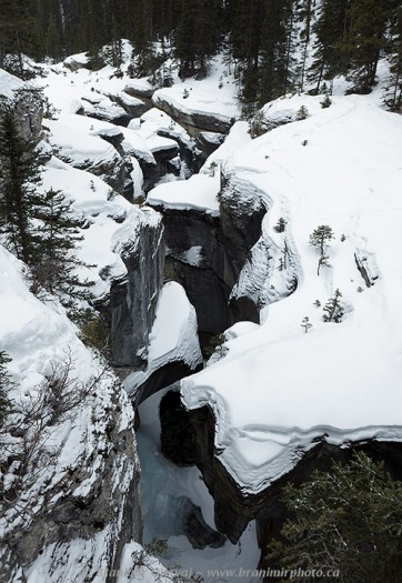
At the end of the winter photography trip to Kootenay Plains, I made a short stop in Banff National Park to photograph Mistaya Canyon covered in fresh powdery snow. Mistaya Canyon is a little brother to the better known Maligne Canyon in Jasper National Park. It is a twenty-metre deep slot canyon carved out by ice scraping and water erosion in the underlying limestone rock.
The Mistaya Canyon does not receive as many visitors as the Maligne Canyon. However, deep pothole depressions, underground water outlets, and swirling water provide endless opportunities to a photographer who is willing to explore beyond the obvious. The surrounding landscape is more natural looking, and hiking trails along the river provide many beautiful vistas.
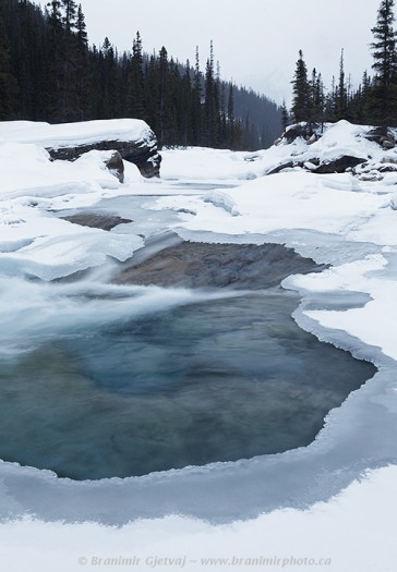
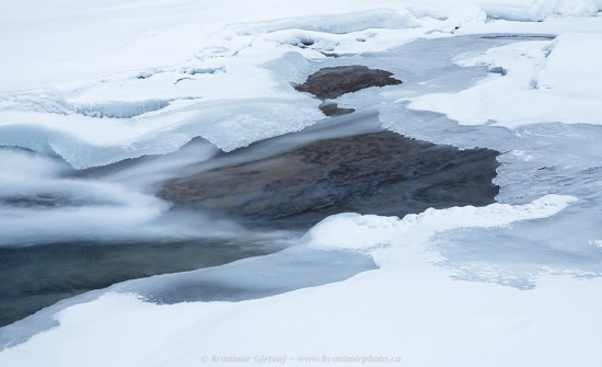
The light wasn’t great when I reached the river – it was already very late in the day and persistent snow fall made the whole canyon feel a bit claustrophobic. Because of the subdued lighting conditions, I focused my photography on the patterns in ice formations along the river. I used a polarizing filter to reduce water surface reflections and extend the exposure times. This allowed me to capture a very soft flow of water percolating between the ice sheets. I left the white balance slightly on the cool side, to retain the feeling of cold and ice.
Mistaya Canyon is approximately 30 km north of the Bow Summit and 6 km south of the Saskatchewan River Crossing. Look for a small parking lot on the west side of the Icefields Parkway. The canyon can be reached by a short hike from the parking lot. After about 0.5 km and elevation loss of only 35 m, the trail will lead you to a bridge spanning the canyon. You can stop and photograph there, or continue along the Sarbach Lookout trail (5.2 km one way, elevation gain of 590 m). From a photography perspective, maybe a more interesting option is to follow the Howse Pass Trail splitting off in north-west direction, to reach open flats at the confluence of the Howse and North Saskatchewan Rivers (4.5 km one way, elevation loss of 85 m).


Branimir,
Love the shot of the slot canyon. I was there during the summer and I think I would have to say that the winter shot is also quite spectacular. You made it look very inviting, but formidable. I’d like to see any images you have taken from water level in the canyon.
Thanks for the tips,I love your website, really well done! you have shared awesome images thanks a lot Banff National Park